- 2008 Contractor of the Year Award
- 2010 County Surveyor President’s Award
- 2011 Outstanding Surveyor of the Year
- 2019-2021 and 2023-2025 President of Indiana County Surveyors Assoc
- 2008-2025 Legislative Committee Member for Indiana Society of Professional Land Surveyors, Assoc of Indiana Counties, County Surveyors Assoc and Indiana Assoc Floodplain & Stormwater Management
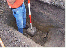
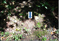
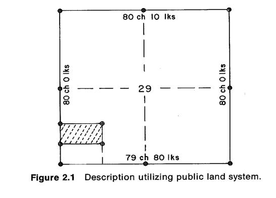
Section Corners were created when the government originally surveyed Indiana into “mile Square”parcels. Section Corners refer to the four (4) corners of the “mile square” parcel. The Intermediate half mile corners are referred to as “quarter corners” because they divide the section into quarters. These corners are usually found near the centerlines of the County’s roads. They are marked by monuments set under the direction of a licensed surveyor.
The Land Ordinance of 1785, as adopted by the Continental Congress, signaled the commencement of the Rectangular Public Land Survey System as a means of dividing federally-owned land for transfer of ownership to the public. After the United States granted title to a parcel of land, jurisdiction over that land passed to the state. Where the lands were private ownership, it became a function of county or local surveyors to restore lost corners and subdivide the section. It is this system which the Wells County Surveyor’s Office continues to perpetuate and maintain today.
As the administrator of the cornerstone by IC 36-2-12-11, b The records. of the corners shall be established and perpetuated in the following manner: Each year the surveyor shall check and reference at least five percent (5%) of all corners shown in the corner record book. There are 1384 cornerstones in Wells County that was originally set by Government Land Surveyors starting in 1805 finishing in 1823.
The Wells County Surveyor’s Office purchased a Topcon RTK GPS system to record the cornerstone locations in an effort to reduce the cost of relocating buried or damage monuments. We can assist professional land surveyors to locate corners to keep the cost of private surveys low for the residents of Wells County.


